


The U.S. Geological Service recently released an update of U.S. National Seismic Hazard Maps that reflect the latest analysis of where future earthquakes will occur, how frequently they may occur, and their strength.
While all states have some potential for earthquakes, 42 of the 50 states have a reasonable chance of experiencing damaging ground shaking from an earthquake in the next 50 years. Sixteen states have a relatively high likelihood of experiencing damaging ground shaking. These states have historically experienced earthquakes with a magnitude 6 or greater. The hazard is especially high along the west coast, intermountain west, and in several active regions elsewhere such as near New Madrid, Mo., and near Charleston, S.C.
The eastern U.S. has the potential for larger and more damaging earthquakes than considered in previous maps and assessments. This finding is due to what scientists learned following the magnitude 5.8 earthquakes that struck Virginia in 2011. It was among the largest earthquakes to occur along the east coast in the last century, and indicated that even larger events in the region are possible.
The maps are used in risk analyses calculated using factors such as population levels, building exposure, and building construction practices. These assessments are used for establishing building codes, in the analysis of seismic risk for key structures, and in determining insurance rates. They can also aid emergency preparedness plans, and private property decisions such as re-evaluating one’s real estate and making it more resilient.
(http://www.usgs.gov/blogs/features/usgs_top_story/new-insight-on-the-nations-earthquake-hazards/)
Related Stories

Codes and Standards | Dec 21, 2015
Changing building codes to protect against mass shootings at odds with other safety measures
Fire and other emergencies require getting people out quickly, not locking down sections.

Codes and Standards | Dec 18, 2015
Codes should be updated to reflect lessons learned from recent extreme weather events
More can be done to boost resiliency to flooding, extended power outages.

Codes and Standards | Dec 13, 2015
Los Angeles launches ‘Drop 100′ campaign to reduce water use in commercial buildings
Goal is to save 100 million gallons annually.

Codes and Standards | Dec 1, 2015
More than 50 design, construction, and real estate firms urge action on climate change
Call for policymakers to move on one of the ‘greatest economic opportunities of the 21st Century’

Codes and Standards | Oct 26, 2015
Chicago suburb considers bird collision deterrent requirement on all new buildings
The rule would mandate that new commercial, multifamily structures comply with LEED pilot program.
Codes and Standards | Oct 16, 2015
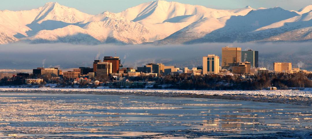
Anchorage may raise building height restrictions that would block precious winter sunlight
Controversial measure is part of plan to spur development.

Codes and Standards | Oct 16, 2015
Appellate court enacts nationwide stay on controversial expansion of Clean Water Act
New EPA rule suspended until court cases settled.

Codes and Standards | Oct 9, 2015
New California law means commercial building benchmarking program will be implemented
Multifamily housing to be included, a first for a U.S. state.

Codes and Standards | Oct 2, 2015
New ASHRAE guideline for commissioning existing systems and assemblies
Focuses on optimum facility and system operation.

Codes and Standards | Sep 18, 2015
New RELi standard addresses disaster resilience
Based on LEED model, may help lower insurance rates


