


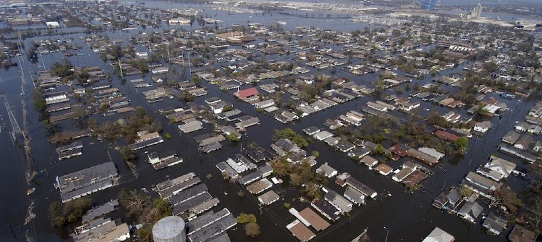
The U.S. Geological Service recently released an update of U.S. National Seismic Hazard Maps that reflect the latest analysis of where future earthquakes will occur, how frequently they may occur, and their strength.
While all states have some potential for earthquakes, 42 of the 50 states have a reasonable chance of experiencing damaging ground shaking from an earthquake in the next 50 years. Sixteen states have a relatively high likelihood of experiencing damaging ground shaking. These states have historically experienced earthquakes with a magnitude 6 or greater. The hazard is especially high along the west coast, intermountain west, and in several active regions elsewhere such as near New Madrid, Mo., and near Charleston, S.C.
The eastern U.S. has the potential for larger and more damaging earthquakes than considered in previous maps and assessments. This finding is due to what scientists learned following the magnitude 5.8 earthquakes that struck Virginia in 2011. It was among the largest earthquakes to occur along the east coast in the last century, and indicated that even larger events in the region are possible.
The maps are used in risk analyses calculated using factors such as population levels, building exposure, and building construction practices. These assessments are used for establishing building codes, in the analysis of seismic risk for key structures, and in determining insurance rates. They can also aid emergency preparedness plans, and private property decisions such as re-evaluating one’s real estate and making it more resilient.
(http://www.usgs.gov/blogs/features/usgs_top_story/new-insight-on-the-nations-earthquake-hazards/)
Related Stories

Codes and Standards | Oct 16, 2019
Cool pavement can make people hotter
Reflective coatings channel sunlight raising temperatures where pedestrians walk.

Codes and Standards | Oct 15, 2019
Utah adopts 2018 International Energy Conservation Code
Provisions include increased building envelope performance and reduced air infiltration.

Codes and Standards | Oct 14, 2019
States continue to beef up energy efficiency codes
ACEEE 50-state scorecard finds latest IECC code gaining adherents.

Codes and Standards | Oct 9, 2019
DOE releases Better Buildings Healthcare Financing Primer
Outlines financial strategies to implement energy-efficiency projects in healthcare.

Codes and Standards | Oct 8, 2019
Zero Carbon Buildings for All aims for ambitious emission reduction targets
Organization makes commitment to net zero carbon for all buildings by 2050.

Codes and Standards | Oct 7, 2019
Tailgating remains a critical building security threat, say security professionals
Few buildings provide beefed up provisions to counteract threat.
Codes and Standards | Oct 7, 2019
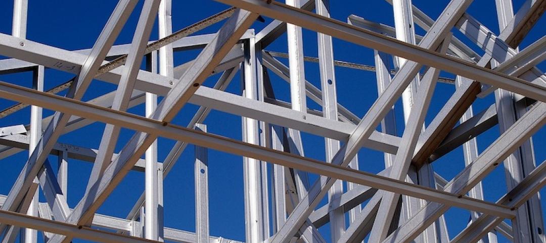
New seismic standard to evaluate, retrofit existing structural steel buildings open for review
AISC seeks input through Nov. 4.

Codes and Standards | Sep 27, 2019
Open source tool allows comparison of embodied carbon emissions from construction materials
Enables carbon-smart choices during material specification and procurement.
Codes and Standards | Sep 27, 2019
AIA declaration: Climate change requires ‘holistic approach’
Must address interdependencies among people, buildings, infrastructure, and the environment.

Codes and Standards | Sep 26, 2019
San Jose’s new building energy code is the most stringent among large cities
New regulations aim to make zero-emission electric buildings the norm.


