


The U.S. Geological Service recently released an update of U.S. National Seismic Hazard Maps that reflect the latest analysis of where future earthquakes will occur, how frequently they may occur, and their strength.
While all states have some potential for earthquakes, 42 of the 50 states have a reasonable chance of experiencing damaging ground shaking from an earthquake in the next 50 years. Sixteen states have a relatively high likelihood of experiencing damaging ground shaking. These states have historically experienced earthquakes with a magnitude 6 or greater. The hazard is especially high along the west coast, intermountain west, and in several active regions elsewhere such as near New Madrid, Mo., and near Charleston, S.C.
The eastern U.S. has the potential for larger and more damaging earthquakes than considered in previous maps and assessments. This finding is due to what scientists learned following the magnitude 5.8 earthquakes that struck Virginia in 2011. It was among the largest earthquakes to occur along the east coast in the last century, and indicated that even larger events in the region are possible.
The maps are used in risk analyses calculated using factors such as population levels, building exposure, and building construction practices. These assessments are used for establishing building codes, in the analysis of seismic risk for key structures, and in determining insurance rates. They can also aid emergency preparedness plans, and private property decisions such as re-evaluating one’s real estate and making it more resilient.
(http://www.usgs.gov/blogs/features/usgs_top_story/new-insight-on-the-nations-earthquake-hazards/)
Related Stories

Codes and Standards | Nov 4, 2019
ASHRAE releases new version of energy efficiency standard for buildings
Standard 90.1 includes revisions of envelope, lighting, HVAC provisions.

Codes and Standards | Nov 1, 2019
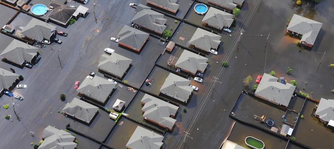
Resiliency of a community’s housing stock can be measured according to new benchmark
Metric can help municipalities prepare for disasters.
Codes and Standards | Oct 31, 2019
FEMA, ICC release updated guide on integrating I-Codes into floodplain management regulations
Provides advice on satisfying requirements for the National Flood Insurance Program.
Codes and Standards | Oct 30, 2019
ILFI releases new version of Living Building Challenge Framework for Affordable Housing
Document includes updated findings, case studies, new strategies for financing, designing, building affordable housing.

Codes and Standards | Oct 28, 2019
U.S. military demands landlords address health hazards in troop housing
Air Force threatens formal dispute process.

Codes and Standards | Oct 24, 2019
ASHRAE design contest winners demonstrate building resilience
Model building, a city hall, could operate without utility service for two weeks.

Codes and Standards | Oct 22, 2019
Efficient material design, low-carbon concrete are critical to cutting GHG emissions in construction
Enhancing building utilization and reusing materials also aid carbon reduction.

Codes and Standards | Oct 21, 2019
Historic properties not exempt from Americans With Disabilities Act
Some exceptions do apply.

Codes and Standards | Oct 18, 2019
St. Louis could save $61 million per year in energy costs by improved building performance
GHG gases can be reduced by at least 11% with upgrades to public buildings and large private buildings.

Codes and Standards | Oct 17, 2019
Slow payments cost GCs and subs $64 billion annually
Study finds 51-day average payment turnaround.


