


Leica Geosystems announced the industry’s first commercially available wearable reality-capture technology with the Pegasus:Backpack at HxGN LIVE.
Combining five high-dynamic cameras, which work in a variety of light conditions, and a LiDAR profiler with an ultra-light and ergonomic carbon fiber chassis, this mobile mapping solution creates a 3D view indoors or outdoors for engineering or professional documentation creation at the highest level of authority yet.
For BIM or simply for capturing 2D square foot updates to a large building, the Leica Pegasus:Backpack creates the most realistic view by capturing synchronized imagery and point cloud data. Accurate positioning is achieved in GNSS-restricted areas using Simultaneous Localization and Mapping, or SLAM, technology. Together with a high precision inertial measurement unit, the Leica Pegasus:Backpack is the first position-agnostic solution.
This new technology is designed to enable weekly data capture efficiently and cost effectively for changing building construction sites. For the first time, this enables the creation of a full starting document for authoritative 6D management of a building or simply to provide an authoritative hand-off dataset to a new building owner. By capturing weekly during a building’s construction, an “x-ray” view of the building is created. As the Backpack clearly logs position and time with the advanced measurement of LiDAR, change orders in the construction process can now offer a complete new level of authority for quality construction while scheduled milestones are achieved.
With full 360-spherical views and LiDAR together plus a hardware light sensor, all images are usable while other functions are verifiable and adjustable over the operator’s tablet device. The system uses multiple hot-swappable batteries, making even long captures possible.
“With the Leica Pegasus:Backpack, limited-access outdoor areas or underground infrastructures are no longer limited in professional data collection,” said Stuart Woods, Geospatial Solutions Division vice-president. “Users will never again forget any aspect of any job nor need to return to a project site. They can capture everything by simply arriving on site wearing the technology, capture and leave, rest assured they have everything they need to complete the job on time and on budget.”
Working with images and point clouds together, data is captured into a single platform and workflow – from the operator interface to a single-click post-processing to feature Meta tagging. Leveraging Leica’s Mapfactory extension, features can be extracted and datasets can be exported to CAD or BIM specific software solutions. More effective decision making is finally achieved with 3D spatial models that allow for true life cycle building planning, enabling 6D BIM.
Related Stories

| Feb 19, 2014
Harvard's 'termite robots' can build any thing, any way [video]
The robots build by observing thier environment and then obeying a set of traffic rules programmed by researchers.

| Feb 14, 2014
The Technology Report 2014: Top tech tools and trends for AEC professionals
In this special five-part report, Building Design+Construction explores how Building Teams throughout the world are utilizing advanced robotics, 3D printers, drones, data-driven design, and breakthroughs in building information modeling to gain efficiencies and create better buildings.
| Feb 14, 2014
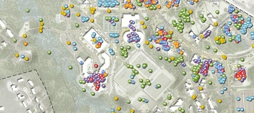
Crowdsourced Placemaking: How people will help shape architecture
The rise of mobile devices and social media, coupled with the use of advanced survey tools and interactive mapping apps, has created a powerful conduit through which Building Teams can capture real-time data on the public. For the first time, the masses can have a real say in how the built environment around them is formed—that is, if Building Teams are willing to listen.

| Feb 11, 2014
Adobe Photoshop update features new 3D printing capabilities
Available as part of an update to Photoshop Creative Cloud, the tool enables users to easily and reliably build, refine, preview, prepare, and print 3D designs.

| Feb 7, 2014
DOE, Autodesk team to overhaul the EnergyPlus simulation program
The update will allow a larger ecosystem of developers to contribute updates to the code in order to improve performance and decrease the time required to run energy model simulations.
| Feb 6, 2014
Bluebeam Software Invests in the Advancement of Design and Construction Education at the Associated Schools of Construction 27th Annual Student Competition
This week, Bluebeam® Software, leading developer of PDF-based markup, measurement and collaboration solutions for design, construction and other technical professionals, is exhibiting at the 27th Annual Associated Schools of Construction (ASC) Student Competition and Construction Management Conference in Sparks, NV.
| Feb 5, 2014
PPG creates new BIM library, adds custom BIM file creation to tool
PPG Industries announced that it has created a new library of building information and modeling (BIM) files, and that architects and specifiers can now use PPG Glass eVIEW to generate custom BIM files for any conceivable PPG glass configuration.
| Jan 31, 2014
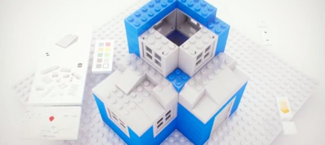
LEGO, Google partner to develop 3D modeling tool for LEGO structures
The free tool, called Build, allows Chrome users to create virtual 3D structures using any shape and color in the LEGO catalog.
| Jan 30, 2014
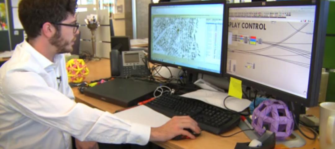
See how architects at NBBJ are using computational design to calculate the best views on projects [video]
In an ideal world, every office employee would have a beautiful view from his or her desk. While no one can make that happen in real life, computational design can help architects maximize views from every angle.

| Jan 15, 2014
6 social media skills every leader needs
The social media revolution—which is less than a decade old—has created a dilemma for senior executives. While its potential seems immense, the inherent risks create uncertainty and unease.


