


The U.S. Geological Service recently released an update of U.S. National Seismic Hazard Maps that reflect the latest analysis of where future earthquakes will occur, how frequently they may occur, and their strength.
While all states have some potential for earthquakes, 42 of the 50 states have a reasonable chance of experiencing damaging ground shaking from an earthquake in the next 50 years. Sixteen states have a relatively high likelihood of experiencing damaging ground shaking. These states have historically experienced earthquakes with a magnitude 6 or greater. The hazard is especially high along the west coast, intermountain west, and in several active regions elsewhere such as near New Madrid, Mo., and near Charleston, S.C.
The eastern U.S. has the potential for larger and more damaging earthquakes than considered in previous maps and assessments. This finding is due to what scientists learned following the magnitude 5.8 earthquakes that struck Virginia in 2011. It was among the largest earthquakes to occur along the east coast in the last century, and indicated that even larger events in the region are possible.
The maps are used in risk analyses calculated using factors such as population levels, building exposure, and building construction practices. These assessments are used for establishing building codes, in the analysis of seismic risk for key structures, and in determining insurance rates. They can also aid emergency preparedness plans, and private property decisions such as re-evaluating one’s real estate and making it more resilient.
(http://www.usgs.gov/blogs/features/usgs_top_story/new-insight-on-the-nations-earthquake-hazards/)
Related Stories
Codes and Standards | Mar 13, 2019
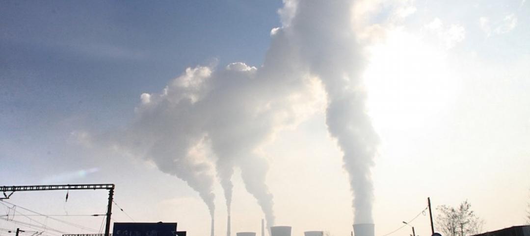
Climate change can’t be stabilized without addressing urban sprawl
Even if power goes green, transportation will still be a major emissions source.

Codes and Standards | Mar 12, 2019
Virginia county hones new rainwater harvesting standard
Developer prompts new rules to use rainwater for heating and air conditioning.

Codes and Standards | Mar 8, 2019
Portland delays requirement for posted warnings on unreinforced brick and stone buildings
Regulation would mandate signs warning that buildings could be unsafe during earthquakes.

Codes and Standards | Mar 7, 2019
California will allow flame retardant-free building insulation
State also repeals business furniture flammability standard.

Codes and Standards | Mar 6, 2019
Sixty six construction companies cited for wage theft violations in Massachusetts
Penalties total $2.7 million.

Codes and Standards | Mar 5, 2019
Persistent flooding having economic impact on coastal cities
Atlantic City, Annapolis among communities affected.

Codes and Standards | Mar 1, 2019
$1 billion Boston hospital project to include extensive disaster resiliency features
Mass. General expansion will be designed for four days of shelter in place.
Codes and Standards | Mar 1, 2019
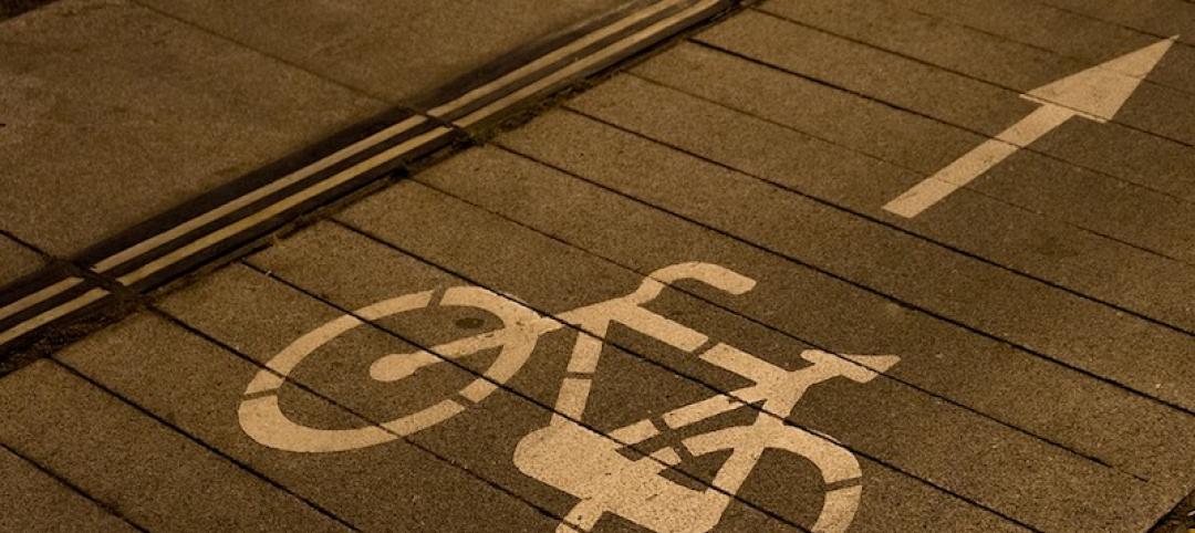
U.S. cities have become more dangerous for bicyclists and pedestrians
Reduced speed limits, traffic calming, better education seen as keys to improvement.

Codes and Standards | Feb 28, 2019
High-income renters now the fastest-growing housing market segment
Growth is fastest in mid-sized cities with strong economies.

Codes and Standards | Feb 27, 2019
Katerra launches software platform for ‘entire lifecycle of the building process’
Firm is accepting industry applicants to test the product.


