

 and the angle at which it was taken, as well as date,")
If it’s true that a picture is worth a thousand words, it’s not surprising that the construction industry loses an untold amount of dollars every year due to poor photo filing. Construction progress photos are worthless if they get filed away without an easy way to locate them, or if you don’t know when and where they were taken.
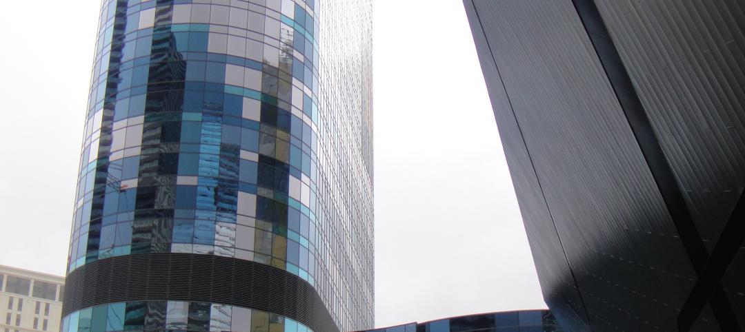
Commercial construction is extremely complex and becoming more so as we move to combine tens of thousands of supply chains in new synergistic ways—energy recovery systems, variable volume air distribution, and dynamic building controls being a few examples. With all of these moving parts, progress documentation has become essential to the construction process, thus requiring us to take lots of photos. Imagine you could see through walls, above ceilings, and underground, but had no idea where you were looking. That’s roughly the current status of construction progress digital photography.
Let me tell you a story that illustrates my point.
A month after moving a client into a beautiful laboratory building, I received a phone call from one of the facility managers telling me that the exterior lights were out—the breaker had been tripped. We checked the lighting loads and conductors, replaced the breaker, safely reset it, and—ta-da!—the lights worked.
Exactly 30 days later, the same phone call. In desperation I turned to the installation photos. What I found was a mind-numbing pile of digital photos, including one shown here labeled “BOB 005.” The entire collection lacked a meaningful file name, structure, or location. I had no clue as to where the photo belonged or when it was taken. In fact, all the photos had the exact same date, the day the project was closed out.
As it turns out sheer luck led me to the solution. I’ll give you a clue: grey conduit met white conduit and, magically, on the one day in the month when the trees on this desert property were watered, the site lighting would short out. The experience inspired me to find a way to organize digital construction photos so that they could be useful in situations like this.
'Simple isn't the same thing as 'easy'
My first instinct was to try to simplify the process. However, that meant requiring our construction field teams to: 1) take photos of anything that could not be seen after construction; 2) download the photos on a regular basis; 3) name and date the photos in such a way that a third party could find their way back to the point of reference where the photo was taken; and 4) make the photos truly searchable.
This first idea was to develop a complex file structure that was located on a project SharePoint site. The idea was that each folder would hold only photos of that specific room, product, or site location; anyone could post and use the library at any time in the future.
As you’ve probably guessed, my plan fell short at the implementation stage. The operations group members weren’t downloading photos on a regular basis, couldn’t remember where photos had been taken, and didn’t post them into the correct folder. As a fallback, I thought about hiring a couple of project interns whose only job would be to document photos, but that, too, would have been too labor intensive.
What we needed was a solution that didn’t add labor costs and would actually encourage our field staff to take construction progress photos. In short, we needed a tool that could see through walls, above ceilings, and underground—a tool where all the pertinent information could be automatically stored with the photo the moment it was taken.
Increasing the level of photo sophistication
I won’t keep you in suspense any longer. The solution turned out to be “geo-tagging,” which is the process of adding geographical identification metadata to images through a global positioning system (GPS) digital camera. Such cameras are all over the market. We tested Nikon’s P6000, Samsung’s CL65, and several models by Sony; we chose the Sony Cybershot DSC-HX5 for its reasonable cost, GPS accuracy, and the fact that it utilizes a nonproprietary memory card that could easy be removed to transfer photos onto our project servers.
The data-rich file itself is not the end-all; it’s what you can do with it that counts. To draw a parallel, a digital song file comes with the image of the album cover, the name of the song, the artist, and the date it was recorded. It doesn’t matter what kind of device you play a digital song on, you still have access to the data.
Similarly, a geo-tagged photo comes with its latitude, longitude, altitude, compass direction, date, and time recorded. Having all that data embedded in your geo-tagged photos allows you to create so-called “mashups.”
According to Wikipedia 2012, a mashup is “a Web page or application that uses and combines data, presentation, or functionality from two or more sources to create new services.” The main characteristics of mashups are “combination, visualization, and aggregation” that make existing data more useful for professional (or personal) use.
When a construction progress photo has been geo-tagged, it can be viewed in any of a number of mapping programs that recognize latitude and longitude; with a little work, it can even be viewed in programs that recognize x-y-z relationships to a given reference point.
One of the simplest of these mapping programs is Google Maps. In the case of the geo-tagged photo and Google Maps mashup on page 21, the red pin represents the precise location where the photo was taken. The blue cone emanating from the pin is the image angle, indicating the direction of the photo. In other words, the person taking the photo was standing on the red pin and facing in the direction of the blue triangle.
Once your photos have been geo-tagged they can be paired (i.e., mashed) with any number of backgrounds through a variety of interfaces. The three primary interfaces that we use are: 1) the typical file view (sort by name or date); 2) a very useful calendar view; and 3) a map view.
Finding your construction progress photos now becomes much easier. If you know the approximate date, use the calendar view. If you know roughly the location, use the map view. Let’s say you are a supervisor of several construction projects, and you want to find a photo from your job in Phoenix. No problem: using the software that comes with the GPS camera, just zoom in to the location.
Moreover, you don’t necessarily need a GPS-enabled camera to geo-tag your photos. You can download freeware (e.g., Picasa 3, GeoSetter, Geolmgr) that will enable you to manually geo-tag your new (and old) photos that were taken with a non-GPS-enabled camera. Using the map view, you simply drag and drop your photos to the location you remember being at.
However, this method makes you do all the manual work yourself, which from a field perspective creates a disincentive for taking project progress photos
The most elegant solutions are often the simplest. In the brave new world of open source data and cloud computing, data sophistication is paramount. Thanks to GPS and digital cameras, now you can see through walls, above ceilings, and below ground, as if you were really there. +
Ryan Abbott (raabbott@sundt.com) is the Science & Technology Group Leader with SUNDT Construction, Inc.
Related Stories
| Nov 16, 2010
Architecture Billings Index: inquiries for new projects remain extremely high
The new projects inquiry index was 61.7, down slightly from a nearly three-year high mark of 62.3 in September, according to the Architecture Billings Index (ABI). However, the ABI dropped nearly two points in October; the October ABI score was 48.7, down from a reading of 50.4 the previous month. The ABI reflects the approximate nine to 12 month lag time between architecture billings and construction spending.
| Nov 16, 2010
Brazil Olympics spurring green construction
Brazil's green building industry will expand in the coming years, spurred by construction of low-impact venues being built for the 2016 Olympics. The International Olympic Committee requires arenas built for the 2016 games in Rio de Janeiro meet international standards for low-carbon emissions and energy efficiency. This has boosted local interest in developing real estate with lower environmental impact than existing buildings. The timing couldn’t be better: the Brazilian government is just beginning its long-term infrastructure expansion program.
| Nov 16, 2010
Green building market grows 50% in two years; Green Outlook 2011 report
The U.S. green building market is up 50% from 2008 to 2010—from $42 billion to $55 billion-$71 billion, according to McGraw-Hill Construction's Green Outlook 2011: Green Trends Driving Growth report. Today, a third of all new nonresidential construction is green; in five years, nonresidential green building activity is expected to triple, representing $120 billion to $145 billion in new construction.
| Nov 16, 2010
Calculating office building performance? Yep, there’s an app for that
123 Zero build is a free tool for calculating the performance of a market-ready carbon-neutral office building design. The app estimates the discounted payback for constructing a zero emissions office building in any U.S. location, including the investment needed for photovoltaics to offset annual carbon emissions, payback calculations, estimated first costs for a highly energy efficient building, photovoltaic costs, discount rates, and user-specified fuel escalation rates.
| Nov 16, 2010
CityCenter’s new Harmon Hotel targeted for demolition
MGM Resorts officials want to demolish the unopened 27-story Harmon Hotel—one of the main components of its brand new $8.5 billion CityCenter development in Las Vegas. In 2008, inspectors found structural work on the Harmon didn’t match building plans submitted to the county, with construction issues focused on improperly placed steel reinforcing bar. In January 2009, MGM scrapped the building’s 200 condo units on the upper floors and stopped the tower at 27 stories, focusing on the Harmon having just 400 hotel rooms. With the Lord Norman Foster-designed building mired in litigation, construction has since been halted on the interior, and the blue-glass tower is essentially a 27-story empty shell.
| Nov 16, 2010
Where can your firm beat the recession? Try any of these 10 places
Wondering where condos and rental apartments will be needed? Where companies are looking to rent office space? Where people will need hotel rooms, retail stores, and restaurants? Newsweek compiled a list of the 10 American cities best situated for economic recovery. The cities fall into three basic groups: Texas, the New Silicon Valleys, and the Heartland Honeys. Welcome to the recovery.
| Nov 16, 2010
Landscape architecture challenges Andrés Duany’s Congress for New Urbanism
Andrés Duany, founder of the Congress for the New Urbanism, adopted the ideas, vision, and values of the early 20th Century landscape architects/planners John Nolen and Frederick Law Olmsted, Jr., to launch a movement that led to more than 300 new towns, regional plans, and community revitalization project commissions for his firm. However, now that there’s a societal buyer’s remorse about New Urbanism, Duany is coming up against a movement that sees landscape architecture—not architecture—as the design medium more capable of organizing the city and enhancing the urban experience.
| Nov 16, 2010
Just for fun: Words that architects use
If you regularly use such words as juxtaposition, folly, truncated, and articulation, you may be an architect. Architects tend to use words rarely uttered during normal conversations. In fact, 62% of all the words that come out of an architects mouth could be replaced by a simpler and more widely known word, according to this “report.” Review this list of designer words, and once you manage to work them into daily conversation, you’re on your way to becoming a bonafide architect.
| Nov 16, 2010
NFRC approves technical procedures for attachment product ratings
The NFRC Board of Directors has approved technical procedures for the development of U-factor, solar heat gain coefficient (SHGC), and visible transmittance (VT) ratings for co-planar interior and exterior attachment products. The new procedures, approved by unanimous voice vote last week at NFRC’s Fall Membership Meeting in San Francisco, will add co-planar attachments such as blinds and shades to the group’s existing portfolio of windows, doors, skylights, curtain walls, and window film.


