


A company called Identified Technologies wants to make mapping a job site an easier task by using drones.
The company’s founder, Dick Zhang, says his product allows project managers, contractors, architects, and anyone else on the Building Team to send a quadcopter around the site and create a topographical map, DIY Drones reports.
The drone is completely autonomous, and batteries can be “hot-swapped” as it maps the area.
A number of contracts have already been made by several projects in Pennsylvania with Identified Technologies. “We have a heavy focus in the Marcellus Shale region, which delivers over 40% of this country’s natural gas. We’ve experienced consistent growth every month. We are forecasting 10-times growth in our deployments and revenue over the course of the year,” Zhang told DIY Drones.
Related Stories

AEC Tech | May 23, 2017
A funny thing may happen on the way to AI
As AI proves safe, big business will want to reduce overhead.

Building Technology | May 5, 2017
Tips for designing and building with bathroom pods
Advancements in building technology and ongoing concerns about labor shortages make prefabrication options such as bathrooms pods primed for an awakening.
BIM and Information Technology | Apr 24, 2017
Reconciling design energy models with real world results
Clark Nexsen’s Brian Turner explores the benefits and challenges of energy modeling and discusses how design firms can implement standards for the highest possible accuracy.

BIM and Information Technology | Apr 17, 2017
BIM: What do owners want?
Now more than ever, owners are becoming extremely focused on leveraging BIM to deliver their projects.
Sustainable Design and Construction | Apr 5, 2017
A new app brings precision to designing a building for higher performance
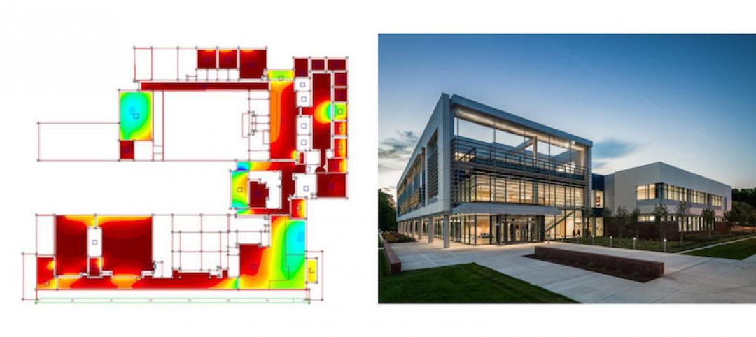
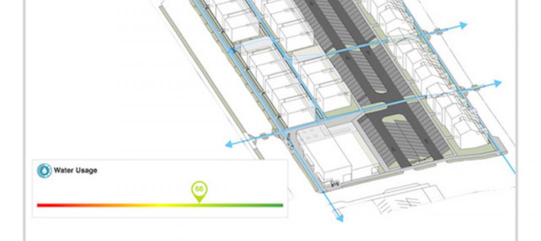
PlanIt Impact's sustainability scoring is based on myriad government and research data.

BIM and Information Technology | Mar 28, 2017
Digital tools accelerated the design and renovation of one contractor’s new office building
One shortcut: sending shop drawings created from laser scans directly to a wood panel fabricator.

BIM and Information Technology | Mar 13, 2017
Real-time, high-speed scanning – The latest in reality capture
Here are a few new reality capture products and platforms that caught our eye.

BIM and Information Technology | Mar 10, 2017
'Reality modeling' arrives
Advanced reality capture technologies are breaking down the barriers between the job site and project models.

BIM and Information Technology | Feb 6, 2017
BIM for O+M: Less about the model, more about the data
How one Building Team is giving a university client what its facilities staff really wants from BIM: information, please.

Codes and Standards | Jan 13, 2017
New BIM guide for owners released
National Institute of Building Sciences releases a manual for developing standard set of BIM documents.


