


DPR Construction tries to resist being driven by the technology of the moment, says Chris Torres, the firm’s Technology Integration Manager.
But there are times, he admits, when attention must be paid. That happened last November, when Torres got his first glimpse of Indoor Reality, a backpack with a built-in laser scanner that its creators claim can scan 200,000 sf in just eight hours—roughly 30 times faster than stationary scanners.
The product—one of several similar backpacks on the market—goes wherever the user roams, using cellphone-based indoor GPS as its guide. The manufacturer claims the unit can help project teams generate Revit models three times faster than traditional point cloud methods.
Indoor Reality’s $100,000 price tag might be prohibitive for some AEC firms, but Torres says the supplier also showed a hand-held version that goes for around $15,000.
The reality capture world is replete with new products; so many, in fact, that it’s a wonder buyers can keep up with the releases. Here are a few new products and platforms that caught our eye:
- RTK and PPK. These are acronyms for real-time kinematic and post-processing kinematic GPS sensors. They are part of systems that provide accurate camera locations when using drones for mapping. They reduce the need for surveyed ground control to produce accurate digital terrain models and orthophotos from photogrammetry. PPK doesn’t require a radio link. Accuracies of 25 mm (XY coordinate) and 50 mm (Z coordinate) are achievable.
- A host of hand-held laser scanners has been making its way onto the market. One that’s been getting attention from AEC experts is Leico Geosystems’ BLK 360 scanner. Size: 6.5 inches by 4 inches. Weight: 2.2 pounds. It is capable of 360-degree spherical imaging, thermal imaging, and full 360-degree reality capture in less than three minutes. Price: under $16,000.
- SLAM, which stands for simultaneous localization and mapping, lets construction workers walk through a project site and map it in extreme detail in minutes. SLAM scans in real time and doesn’t require GPS. One company in this arena, GeoSLAM, recently launched Desktop V3, which incorporates a 2D and 3D viewer so registered point clouds can be viewed without moving to third-party software.
- Product tie-ins are the rage these days. Enscape, which provides visualization software for architects, just released a real-time rendering plug-in for Revit. Early adopters include Kohn Pedersen Fox and Foster+Partners. “What’s important,” says Thomas Schander, Enscape’s CEO, “is that now you don’t need to be a rendering expert to create stunning presentations.”
Related Stories
| May 24, 2017
Accelerate Live! talk: The data-driven future for AEC, Nathan Miller, Proving Ground
In this 15-minute talk at BD+C’s Accelerate Live! (May 11, 2017, Chicago), Nathan Miller presents his vision of a data-driven future for the business of design.
Big Data | May 24, 2017
Data literacy: Your data-driven advantage starts with your people
All too often, the narrative of what it takes to be ‘data-driven’ focuses on methods for collecting, synthesizing, and visualizing data.

AEC Tech | May 23, 2017
A funny thing may happen on the way to AI
As AI proves safe, big business will want to reduce overhead.

Building Technology | May 5, 2017
Tips for designing and building with bathroom pods
Advancements in building technology and ongoing concerns about labor shortages make prefabrication options such as bathrooms pods primed for an awakening.
BIM and Information Technology | Apr 24, 2017
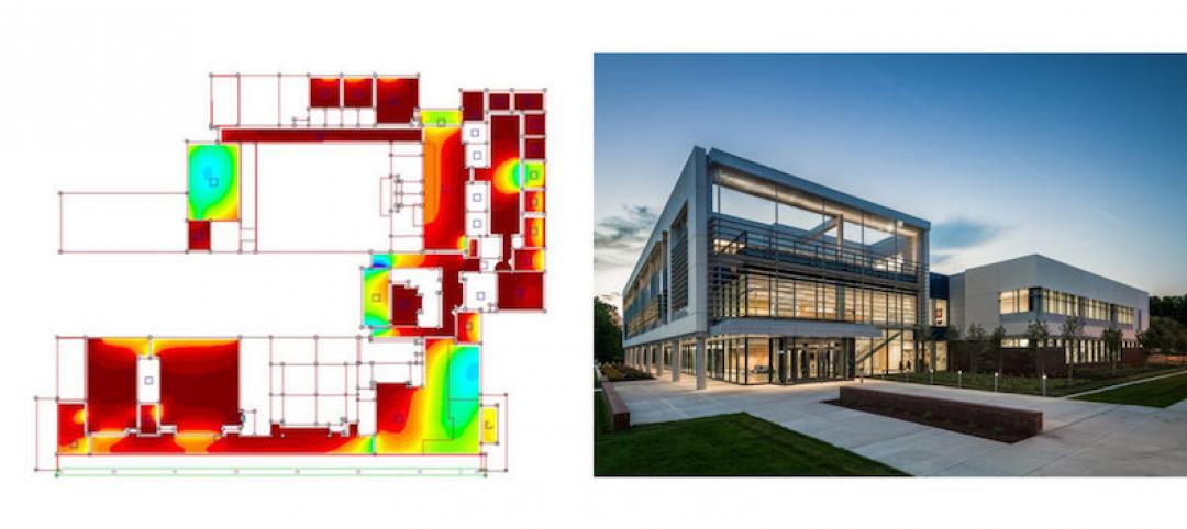
Reconciling design energy models with real world results
Clark Nexsen’s Brian Turner explores the benefits and challenges of energy modeling and discusses how design firms can implement standards for the highest possible accuracy.
BIM and Information Technology | Apr 17, 2017
BIM: What do owners want?
Now more than ever, owners are becoming extremely focused on leveraging BIM to deliver their projects.
Sustainable Design and Construction | Apr 5, 2017
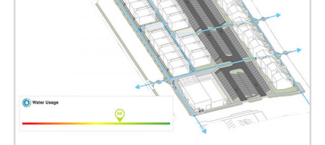
A new app brings precision to designing a building for higher performance
PlanIt Impact's sustainability scoring is based on myriad government and research data.

BIM and Information Technology | Mar 28, 2017
Digital tools accelerated the design and renovation of one contractor’s new office building
One shortcut: sending shop drawings created from laser scans directly to a wood panel fabricator.

BIM and Information Technology | Mar 10, 2017
'Reality modeling' arrives
Advanced reality capture technologies are breaking down the barriers between the job site and project models.

BIM and Information Technology | Feb 6, 2017
BIM for O+M: Less about the model, more about the data
How one Building Team is giving a university client what its facilities staff really wants from BIM: information, please.


