


On Sundays and for a majority of the summer, the Voie Georges Pompidou closes to cars between the Louvre museum and the Place de la Bastille area, allowing the space to instead be used for pedestrians. However, as Reuters reports, this stretch of highway on the right bank of the river Seine will not be reopening this year, as Paris has plans to permanently transform the area into a riverside park.
The banks of the Seine were designated a UNESCO World Heritage site and, the right bank specifically, runs past some of the city’s major landmarks, such as the Ile de la Cite, Notre Dame and Paris city hall.
The plans to close the highway stem from a goal to reduce pollution caused by motor traffic in the city. The highway was built in the 1960s and brought cars to a place were they never were before, increasing pollution and taking up valuable space that could otherwise be used for pedestrians.
While the goal of reducing pollution is admirable, many people are worried that the move will just increase congestion and pollution in other areas of the city. Some restaurant owners on the right bank worry that closing the highway will negatively affect their businesses, fearing traffic will be forced from the road by the river and up to the streets outside their restaurants, becoming a nuisance for people on the terraces.
Paris’s Deputy Mayor, however, says the city just needs time to adjust to the change and the increased local traffic will be temporary as people find and grow accustomed to new ways to reach their destinations.
The left bank highway has been closed to cars between the Musee d'Orsay and the Eiffel Tower since 2013. The area has become a popular park featuring outdoor cafes and sports facilities. Paris city officials hope closing the right bank to traffic will produce similar results.
Related Stories
Urban Planning | Jan 24, 2018
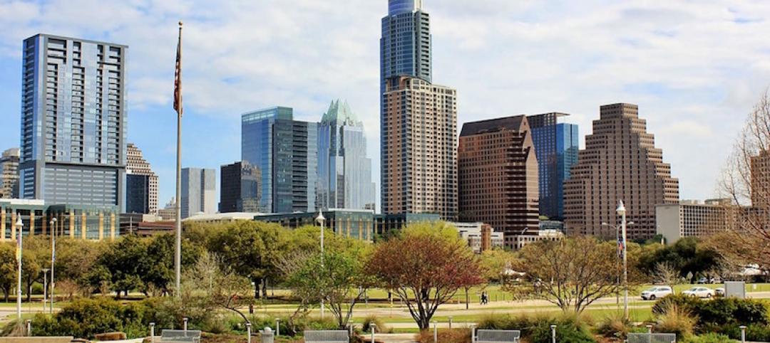
Vision Zero comes to Austin: An outside perspective
Aside from the roads being wider and the lack of infrastructure for bikes and pedestrians, there seemed to be some deeper unpredictability in the movement of people, vehicles, bikes, and buses.
Urban Planning | Jan 10, 2018
Keys to the city: Urban planning and our climate future
Corporate interests large and small are already focused on what the impact of climate change means to their business.
Urban Planning | Jan 2, 2018
The ethics of urbanization
While we focus on designing organized and supportive architecture, much of urbanization is created through informal settlements.
Urban Planning | Dec 5, 2017
A call for urban intensification
Rather than focus on urban “densification" perhaps we should consider urban “intensification.”
Urban Planning | Dec 4, 2017
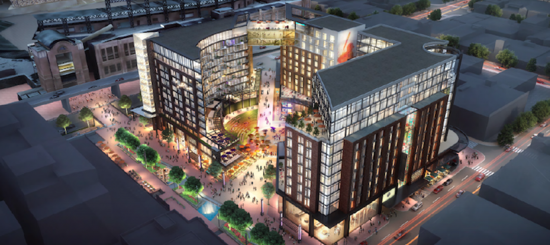
Sports ‘districts’ are popping up all over America
In downtown Minneapolis, the city’s decision about where to build the new U.S. Bank Stadium coincided with an adjacent five-block redevelopment project.
Urban Planning | Dec 4, 2017
Can you spark an urban renaissance?
Thoughtful design, architecture, and planning can accelerate and even create an urban renaissance.
Urban Planning | Nov 20, 2017
Creating safer streets: Solutions for high-crash locations
While there has been an emphasis on improving safety along corridors, it is equally important to focus on identifying potential safety issues at intersections.
Urban Planning | Nov 16, 2017
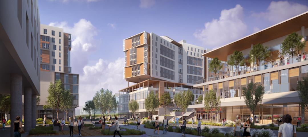
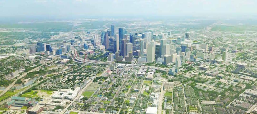
Business groups present a new vision of Downtown Houston as that city’s unavoidable hub
The plan, which took 18 months to complete, emphasizes the centrality of downtown to the metro’s eight counties.

Architects | Oct 30, 2017
City 2050: What will your city look like in 2050?
What do we think the future will look like 30 years or so from now? And what will City: 2050 be like?
Great Solutions | Oct 17, 2017
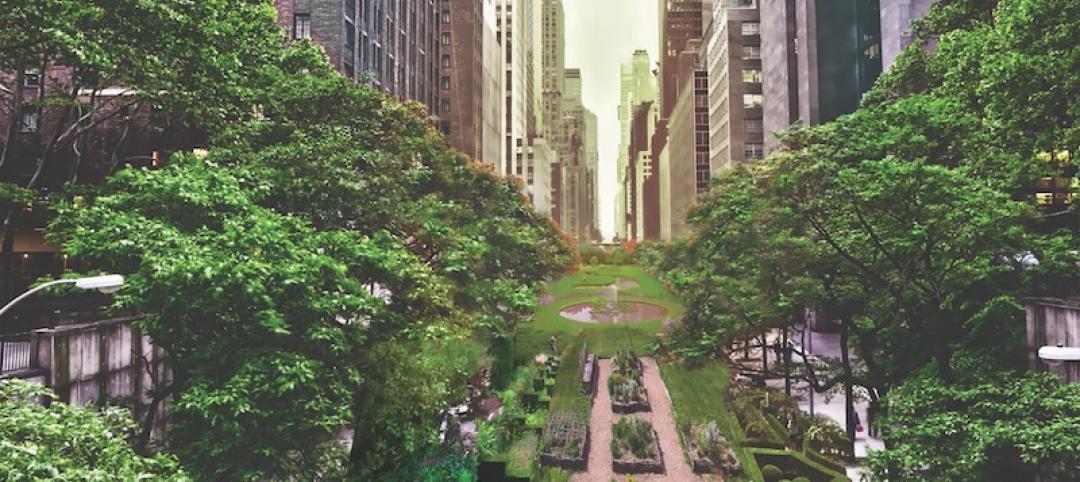
Loop NYC would reclaim 24 miles of park space from Manhattan’s street grid
A new proposal leverages driverless cars to free up almost all of Manhattan’s Park Avenue and Broadway for pedestrian paths.


