


Four years ago, Massachusetts Institute of Technology’s City Form Lab launched Urban Network Analysis (UNA), a city-modeling software that facilitates a mathematical analysis of relationships among elements in a complex system, like a city. The unique feature of UNA is that it incorporates activities within buildings into its analysis.
This toolbox has been popular with planners and geographers, but it requires ArcGIS10 software with an ArcGIS Network Analysis Extension.
In April, City Form Lab expanded this software’s utility by introducing UNA for Rhino 3D, a modeling software for architects, engineers, and designers.
“Our toolbox helps planners and architects analyze these relationships and quantify how intensely different routes are likely to be utilized, how visible or connected public spaces are, or how conveniently one can get from one space to another,” says Andres Sevtsuk, the principal investigator at City Form Lab and developer of the UNA tool.
In layman’s terms, the software predicts where people are likely to go once they’ve decided upon an activity, like, say, going to an ATM machine or a park. The software provides users with some idea about which ATM or park that would be. As for movements to and within buildings, UNA takes into account employee head count, a building’s value, the surrounding population, and so forth.
This app’s toolbox also computes how urban design can affect—or even dictate—pedestrian movement. Sevtsuk notes, too, that the software can be scaled to account for the diversity of movement in different cities and towns.
Sevtsuk is encouraged by the sheer amount of spatial data available about urban areas, particularly in the U.S., where “you can go to any sizable city website and download data that is necessary to calibrate any of these models.” He’s confident that this software can be used to predict movement in public or semi-public spaces such as building lobbies or shopping centers.
Related Stories

| Apr 10, 2014
Submit Your Project for a Bluebeam eXtreme Award!
Bluebeam is holding the second annual Bluebeam eXtreme Awards at the 2014 Bluebeam eXtreme Conference in Hollywood, Calf.

| Apr 3, 2014
Security, accountability, and cloud access: Can you really have it all?
I’ve heard countless stories of conversations between project engineers and IT professionals who can’t come to an agreement on the level of security needed to protect their data while making it more accessible—not only externally, but also internally.
| Apr 2, 2014
New Autodesk software allows visualization of more realistic bridge concepts
The Autodesk InfraWorks 360 family of offerings now includes enhanced roads and highways capabilities, better representations of graphical information, and fixed-length pipe modeling capability.

| Mar 26, 2014
Zaha Hadid's glimmering 'cultural hub of Seoul' opens with fashion, flair [slideshow]
The new space, the Dongdaemun Design Plaza, is a blend of park and cultural spaces meant for the public to enjoy.

| Mar 20, 2014
Fluor defines the future 7D deliverable without losing sight of real results today
A fascinating client story by Fluor SVP Robert Prieto reminds us that sometimes it’s the simplest details that can bring about real results today—and we shouldn’t overlook them, even as we push to change the future state of project facilitation.
| Mar 12, 2014
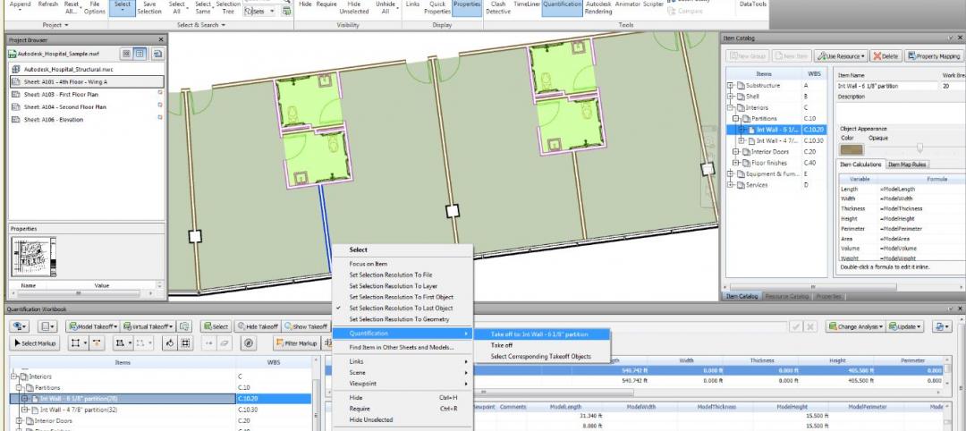
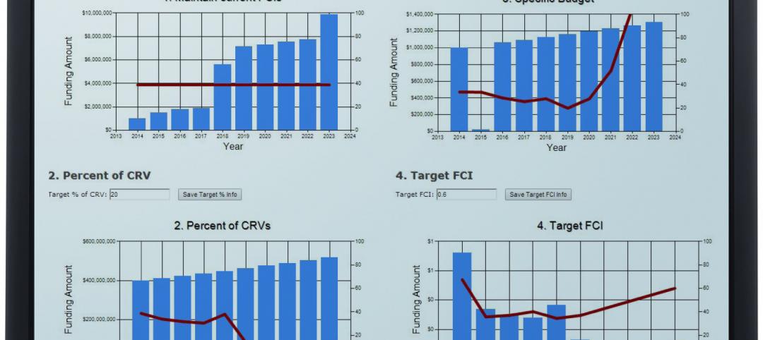
New CannonDesign database allows users to track facility assets
The new software identifies critical failures of components and systems, code and ADA-compliance issues, and systematically justifies prudent expenditures.

| Mar 10, 2014
Meet Tally – the Revit app that calculates the environmental impact of building materials
Tally provides AEC professionals with insight into how materials-related decisions made during design influence a building’s overall ecological footprint.

| Mar 10, 2014
Field tested: Caterpillar’s Cat B15 rugged smartphone
The B15 is billed by Cat as “the most progressive, durable and rugged device available on the market today.”

| Mar 10, 2014
5 rugged mobile devices geared for construction pros
BD+C readers share their most trusted smartphone and tablet cases. The editors select some of their faves, too.

Sponsored | | Mar 6, 2014
Rombald Inc. improves profits by customizing reports and managing multiple projects
By replacing spreadsheets with BillQuick, this growing consulting firm has greater visibility into its project financials.


