

 and the angle at which it was taken, as well as date,")
If it’s true that a picture is worth a thousand words, it’s not surprising that the construction industry loses an untold amount of dollars every year due to poor photo filing. Construction progress photos are worthless if they get filed away without an easy way to locate them, or if you don’t know when and where they were taken.
Commercial construction is extremely complex and becoming more so as we move to combine tens of thousands of supply chains in new synergistic ways—energy recovery systems, variable volume air distribution, and dynamic building controls being a few examples. With all of these moving parts, progress documentation has become essential to the construction process, thus requiring us to take lots of photos. Imagine you could see through walls, above ceilings, and underground, but had no idea where you were looking. That’s roughly the current status of construction progress digital photography.
Let me tell you a story that illustrates my point.
A month after moving a client into a beautiful laboratory building, I received a phone call from one of the facility managers telling me that the exterior lights were out—the breaker had been tripped. We checked the lighting loads and conductors, replaced the breaker, safely reset it, and—ta-da!—the lights worked.
Exactly 30 days later, the same phone call. In desperation I turned to the installation photos. What I found was a mind-numbing pile of digital photos, including one shown here labeled “BOB 005.” The entire collection lacked a meaningful file name, structure, or location. I had no clue as to where the photo belonged or when it was taken. In fact, all the photos had the exact same date, the day the project was closed out.
As it turns out sheer luck led me to the solution. I’ll give you a clue: grey conduit met white conduit and, magically, on the one day in the month when the trees on this desert property were watered, the site lighting would short out. The experience inspired me to find a way to organize digital construction photos so that they could be useful in situations like this.
'Simple isn't the same thing as 'easy'
My first instinct was to try to simplify the process. However, that meant requiring our construction field teams to: 1) take photos of anything that could not be seen after construction; 2) download the photos on a regular basis; 3) name and date the photos in such a way that a third party could find their way back to the point of reference where the photo was taken; and 4) make the photos truly searchable.
This first idea was to develop a complex file structure that was located on a project SharePoint site. The idea was that each folder would hold only photos of that specific room, product, or site location; anyone could post and use the library at any time in the future.
As you’ve probably guessed, my plan fell short at the implementation stage. The operations group members weren’t downloading photos on a regular basis, couldn’t remember where photos had been taken, and didn’t post them into the correct folder. As a fallback, I thought about hiring a couple of project interns whose only job would be to document photos, but that, too, would have been too labor intensive.
What we needed was a solution that didn’t add labor costs and would actually encourage our field staff to take construction progress photos. In short, we needed a tool that could see through walls, above ceilings, and underground—a tool where all the pertinent information could be automatically stored with the photo the moment it was taken.
Increasing the level of photo sophistication
I won’t keep you in suspense any longer. The solution turned out to be “geo-tagging,” which is the process of adding geographical identification metadata to images through a global positioning system (GPS) digital camera. Such cameras are all over the market. We tested Nikon’s P6000, Samsung’s CL65, and several models by Sony; we chose the Sony Cybershot DSC-HX5 for its reasonable cost, GPS accuracy, and the fact that it utilizes a nonproprietary memory card that could easy be removed to transfer photos onto our project servers.
The data-rich file itself is not the end-all; it’s what you can do with it that counts. To draw a parallel, a digital song file comes with the image of the album cover, the name of the song, the artist, and the date it was recorded. It doesn’t matter what kind of device you play a digital song on, you still have access to the data.
Similarly, a geo-tagged photo comes with its latitude, longitude, altitude, compass direction, date, and time recorded. Having all that data embedded in your geo-tagged photos allows you to create so-called “mashups.”
According to Wikipedia 2012, a mashup is “a Web page or application that uses and combines data, presentation, or functionality from two or more sources to create new services.” The main characteristics of mashups are “combination, visualization, and aggregation” that make existing data more useful for professional (or personal) use.
When a construction progress photo has been geo-tagged, it can be viewed in any of a number of mapping programs that recognize latitude and longitude; with a little work, it can even be viewed in programs that recognize x-y-z relationships to a given reference point.
One of the simplest of these mapping programs is Google Maps. In the case of the geo-tagged photo and Google Maps mashup on page 21, the red pin represents the precise location where the photo was taken. The blue cone emanating from the pin is the image angle, indicating the direction of the photo. In other words, the person taking the photo was standing on the red pin and facing in the direction of the blue triangle.
Once your photos have been geo-tagged they can be paired (i.e., mashed) with any number of backgrounds through a variety of interfaces. The three primary interfaces that we use are: 1) the typical file view (sort by name or date); 2) a very useful calendar view; and 3) a map view.
Finding your construction progress photos now becomes much easier. If you know the approximate date, use the calendar view. If you know roughly the location, use the map view. Let’s say you are a supervisor of several construction projects, and you want to find a photo from your job in Phoenix. No problem: using the software that comes with the GPS camera, just zoom in to the location.
Moreover, you don’t necessarily need a GPS-enabled camera to geo-tag your photos. You can download freeware (e.g., Picasa 3, GeoSetter, Geolmgr) that will enable you to manually geo-tag your new (and old) photos that were taken with a non-GPS-enabled camera. Using the map view, you simply drag and drop your photos to the location you remember being at.
However, this method makes you do all the manual work yourself, which from a field perspective creates a disincentive for taking project progress photos
The most elegant solutions are often the simplest. In the brave new world of open source data and cloud computing, data sophistication is paramount. Thanks to GPS and digital cameras, now you can see through walls, above ceilings, and below ground, as if you were really there. +
Ryan Abbott (raabbott@sundt.com) is the Science & Technology Group Leader with SUNDT Construction, Inc.
Related Stories

Market Data | Jan 6, 2023
Nonresidential construction spending rises in November 2022
Spending on nonresidential construction work in the U.S. was up 0.9% in November versus the previous month, and 11.8% versus the previous year, according to the U.S. Census Bureau.

Industry Research | Dec 28, 2022
Following a strong year, design and construction firms view 2023 cautiously
The economy and inflation are the biggest concerns for U.S. architecture, construction, and engineering firms in 2023, according to a recent survey of AEC professionals by the editors of Building Design+Construction.

Performing Arts Centers | Dec 23, 2022
Diller Scofidio + Renfro's renovation of Dallas theater to be ‘faithful reinterpretation’ of Frank Lloyd Wright design
Diller Scofidio + Renfro recently presented plans to restore the Kalita Humphreys Theater at the Dallas Theater Center (DTC) in Dallas. Originally designed by Frank Lloyd Wright, this theater is the only freestanding theater in Wright’s body of work.

University Buildings | Dec 22, 2022
Loyola Marymount University completes a new home for its acclaimed School of Film and Television
California’s Loyola Marymount University (LMU) has completed two new buildings for arts and media education at its Westchester campus. Designed by Skidmore, Owings & Merrill (SOM), the Howard B. Fitzpatrick Pavilion is the new home of the undergraduate School of Film and Television, which is consistently ranked among the nation’s top 10 film schools. Also designed by SOM, the open-air Drollinger Family Stage is an outdoor lecture and performance space.

Adaptive Reuse | Dec 21, 2022
University of Pittsburgh reinvents century-old Model-T building as a life sciences research facility
After opening earlier this year, The Assembly recently achieved LEED Gold certification, aligning with the school’s and community’s larger sustainability efforts.

Multifamily Housing | Dec 20, 2022
Brooks + Scarpa-designed apartment provides affordable housing to young people aging out of support facilities
In Venice, Calif., the recently completed Rose Apartments provides affordable housing to young people who age out of youth facilities and often end up living on the street. Designed by Brooks + Scarpa, the four-story, 35-unit mixed-use apartment building will house transitional aged youths.

Coatings | Dec 20, 2022
The Pier Condominiums — What's old is new again!
When word was out that the condominium association was planning to carry out a refresh of the Pier Condominiums on Fort Norfolk, Hanbury jumped at the chance to remake what had become a tired, faded project.
Cladding and Facade Systems | Dec 20, 2022
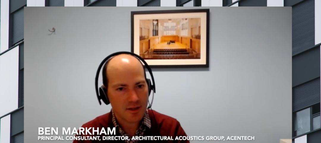
Acoustic design considerations at the building envelope
Acentech's Ben Markham identifies the primary concerns with acoustic performance at the building envelope and offers proven solutions for mitigating acoustic issues.
Sponsored | Resiliency | Dec 14, 2022
Flood protection: What building owners need to know to protect their properties
This course from Walter P Moore examines numerous flood protection approaches and building owner needs before delving into the flood protection process. Determining the flood resilience of a property can provide a good understanding of risk associated costs.

Architects | Dec 14, 2022
Carol Ross Barney, FAIA, named 2023 AIA Gold Medal honoree
The Board of Directors and the Strategic Council of the American Institute of Architects (AIA) are honoring Carol Ross Barney, FAIA, with the 2023 Gold Medal. The Gold Medal honors an individual whose significant body of work has had a lasting influence on the theory and practice of architecture.


