Big U in the Big Apple: New design to protect New York City's coastline
By Lynne Fort, Associate Digital Editor
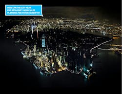
Once upon a time, New York City only had to worry about 100-year storm surges. But as sea levels rise, new research shows that the city may need to worry about these high-intensity weather events as often as every three years.
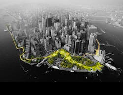
To protect the Big Apple from flooding, a new design by Bjarke Ingels Group (BIG) is under consideration: the Big U. It's one of 10 entries in the Rebuild by Design competition, held by the U.S. Department of Housing and Urban Development.
The design of the Big U doesn't just address the concerns of engineers, it is built with community needs in mind.
“In the history of New York with the legacy of Robert Moses, most of the infrastructure—whether that’s highways or parks—have generally been imposed without a lot of regard for existing community fabric,” Jeremy Siegel, the project leader, told FastCompany. “If you’re going to be investing so much money into an infrastructure for resiliency—that’s going to be sitting along one of the most spectacular coastlines in the world—there’s a huge opportunity there to also improve civic infrastructure, so it can protect the city, but also become a platform for civic life."
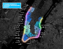
The design extends from West 57th Street to the tip of the Battery, then up to East 42nd Street—but within that range, the coast is divided into completely separate flood protection zones. Essentially, this is the same design principle used in ship-building. If one part of the ship is breached by water, that water is contained in one area, rather than being free to spread throughout the hull. In the same way, the Big U flood protection zones are all completely autonomous. If one fails, that doesn't men the whole system fails.
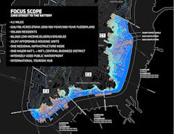
This also means that as funding comes in, each section could be built on its own. In its competition entry, BIG focused on sections of the city that might benefit a bit more than others in the event of flooding—two of the three sections in the original design are located in the Lower East Side, which sustained serious damage during Hurricane Sandy.
“When it floods, it’s a population that doesn’t necessarily have the means to head out of town or take a hotel somewhere else,” Siegel says. “It’s a place that makes a lot of sense to start.”
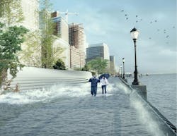
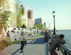
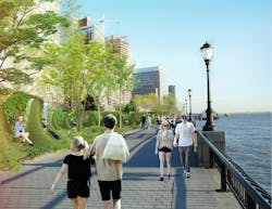
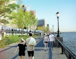
The third section BIG focused on was the southern end of Manhattan, in order to protect vital financial institutions and create more effective public spaces. The design includes raised portions of land, both to prevent flooding and provide new park space. Beneath FDR drive, flood walls can be flipped up at will—either to stop incoming water, or to create a sheltered public space.
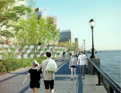
Check out the initial renderings of the Big U below. Renderings courtesy of BIG.
