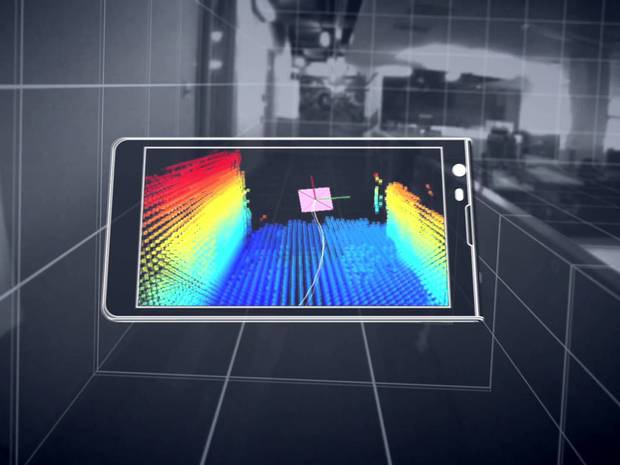
Google has released many revolutionary products over the years, and another one is on its way out of the lab. Project Tango, Google’s 3D scanning camera, was originally developed to bring 3D scanning capabilities to smartphones, according to the Independent.
"Project Tango devices contain customized hardware and software designed to track the full 3D motion of the device, while simultaneously creating a map of the environment," according to the Project Tango website. "These sensors allow the device to make over a quarter million 3D measurements every second, updating its position and orientation in real-time, combining that data into a single 3D model of the space around you."
Besides the obvious gaming capabilities, Google says the technology could allow people to give easy directions around a new building, or map out the dimensions of a home before buying furniture. The technology has obvious applications for the AEC market, such as punchlisting and augmented reality.
A special kit for developers has been released for Project Tango that allows engineers to develop apps using the technology. Google is said to be partnering with LG to create a version of the technology for public release sometime this year.
Related Stories
Building Tech | Apr 12, 2016
Should we be worried about a tech slowdown?
Is the U.S. in an innovative funk, or is this just the calm before the storm?
BIM and Information Technology | Apr 8, 2016
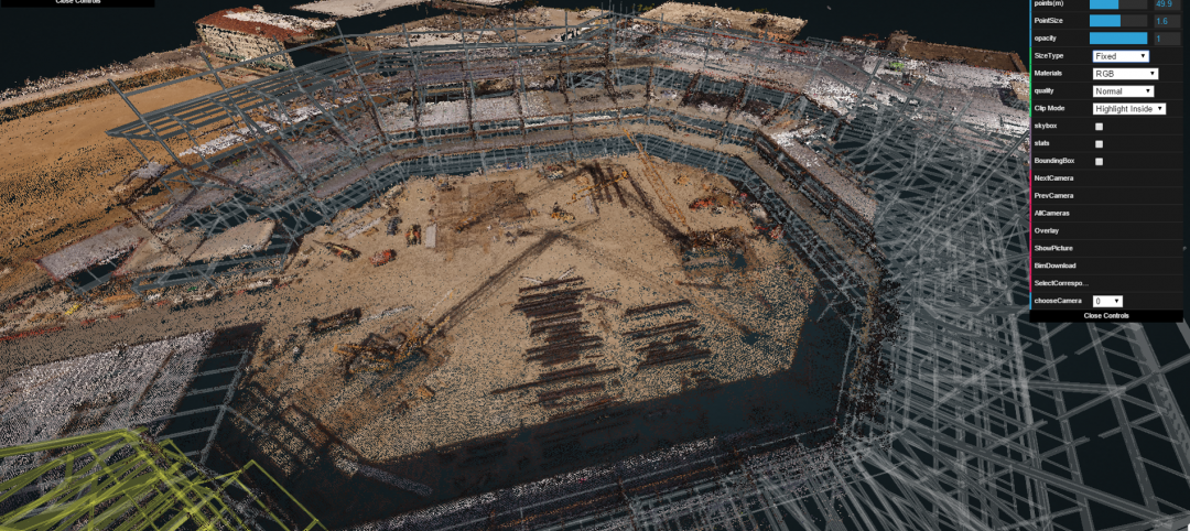
Turner streamlines construction progress tracking using predictive visual data analytics
The construction giant teams with a computer science and engineering professor to develop a clever drone- and rover-based construction monitoring tool.
BIM and Information Technology | Apr 5, 2016
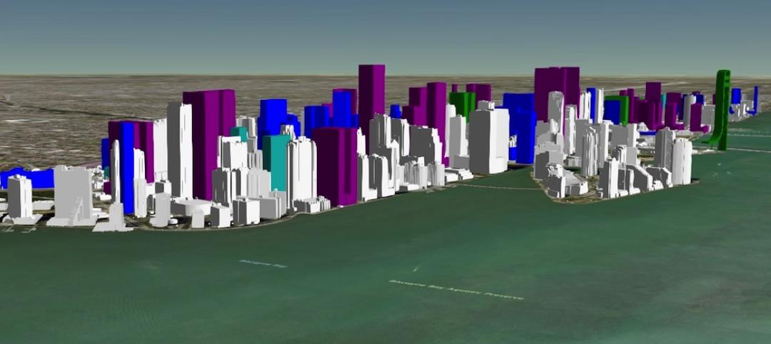
Interactive 3D map shows present and future Miami skyline
The Downtown Miami Interactive 3-D Skyline Map lets users see the status of every downtown office, retail, residential, and hotel project.
AEC Tech | Mar 31, 2016
Deep Learning + AI: How machines are becoming master problem solvers
Besides revolutionary changes to the world’s workforce, artificial intelligence could have a profound impact on the built environment and the AEC industry.
Big Data | Mar 28, 2016
Predictive analytics: How design firms can benefit from using data to find patterns, trends, and relationships
Branden Collingsworth, HDR’s new Director of Predictive Analytics, clarifies what his team does and how architecture projects can benefit from predictive analytics.
BIM and Information Technology | Mar 21, 2016
Latest tech devices simplify the leap from BIM to virtual reality
Faster conversion times and higher-quality graphics are enabling VR to make the jump from novelty to necessity in the AEC world.
AEC Tech | Mar 15, 2016
Two to tango: Project Tango isn’t just for entertainment, it also has a wide range of possibilities relating to the professional world
Making things like augmented reality, precise measurements of indoor spaces, and indoor wayfinding possible, Google’s Project Tango has all the makings to become a useful and ubiquitous tool in the AEC market.
BIM and Information Technology | Mar 14, 2016
Visual estimating, generative design, and component construction push the limits of BIM/VDC
DPR Construction, JE Dunn, and The Living advance the AEC industry with three clever tech solutions.
Drones | Mar 9, 2016
A new image-capturing platform mediates drone and cloud technologies
3DRobotics, Autodesk, and Sony launch Site Scan to speed the process of making models from field data.
BIM and Information Technology | Mar 2, 2016
Thanks to MIT researchers, Boston now has its very own citywide building energy model
The most detailed model ever for a city this size will help Boston meet its long-term energy use goals.


