

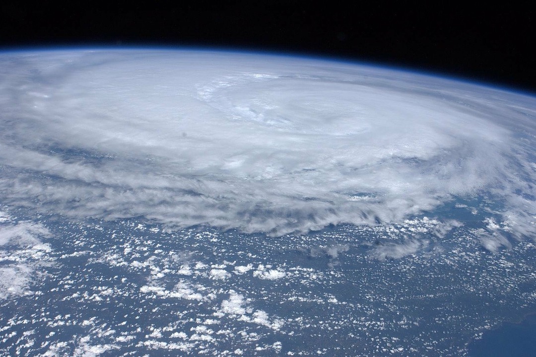
Deaths from flooding in New York City during Hurricane Ida illustrate flaws in FEMA’s flood maps, according to critics.
Eleven people that drowned in their basement apartments lived in areas marked as low risk for severe flooding. The storm produced record rainfall that inundated the city’s sewer system and caused widespread flooding.
House Oversight and Reform Chair Carolyn Maloney (D-N.Y.) said she checked the addresses of all the homes where the drownings occurred and found that they were all in areas marked as having a minimal flood hazard. A FEMA official responded, saying the agency’s flood maps show areas that are high risk of coastal inundation or river overflow, but do not address areas facing the type of flooding that Hurricane Ida caused in New York City.
FEMA’s special flood hazard areas are only located in city neighborhoods adjacent to water. FEMA maps determine which property owners are subject to a federal requirement to have flood insurance.
Related Stories
| Aug 11, 2010
Best AEC Firms of 2011/12
Later this year, we will launch Best AEC Firms 2012. We’re looking for firms that create truly positive workplaces for their AEC professionals and support staff. Keep an eye on this page for entry information. +


